The Anoia River and L’Ataix Range route offers a chance to explore two emblematic environments of Martorell. On one hand, the Anoia River area, with its riparian forest, flour mill, and still-productive gardens; and on the other, the Ataix Range, with its rugged reddish cliffs, endless views of Montserrat, dry-stone huts, and the curious communication towers.
The difficulty is moderate, with a distance of 8.5 km and an approximate duration of 3 hours.
We start the route at the parking area located under the Anoia Bridge and follow the Molí Fariner Path along the Anoia River. We will walk to the Molí Fariner, flanked by the Anoia orchards on our right and the river on our left. We will cross the river at the level of the mill and head towards Santa Margarida, passing first in front of the cemetery. At this point, we turn and walk parallel to the AP-7 for about one hundred metres, with pines, poplars, and white poplars on the left side of the path.
Once positioned under the AP-7, we will change direction and climb a narrow path between old, long-abandoned vineyards and olive trees. This trail will take us to the Rocafort stream, which we will leave on our right to take another path that runs alongside the reddish conglomerate cliffs up to the top of the Ataix mountain range.
At the top of the mountain range, the views of the Llobregat and Montserrat mountain are spectacular. On the range, we will visit some dry-stone huts built near old vineyards and olive groves, and explore various species of local fauna and flora.
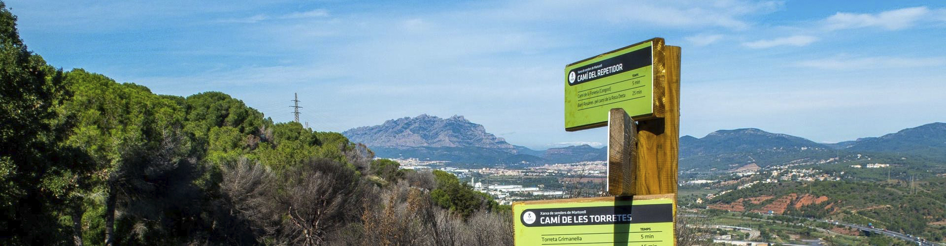
Upon reaching the top of the ridge, we will turn right onto a wide and easy forest track towards the Torretes, which we will visit to learn about their function and construction. After seeing the viewpoint of the Torreta Griminella, we will begin a steeper descent until we reach once again the urban centre of Martorell, next to the Llobregat River and its imposing Devil’s Bridge.
Finally, we just have to walk across the plain between orchards, reconnecting with the course of the Anoia River, back to the starting point, thus completing the Anoia River route.